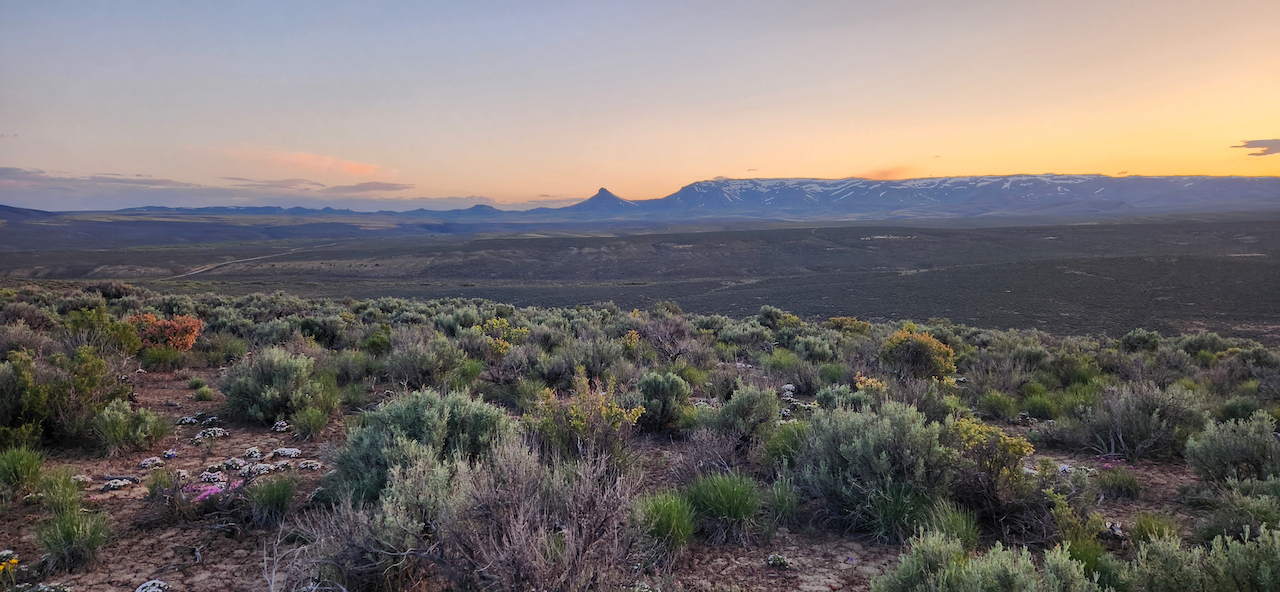
Lithium Lands Fellowship Final Report
In spring of 2023, Groundwork sponsored the Lithium Lands Fellowship, a month-long immersion field study to document the flora within Jindalee Resources of Australia’s proposed McDermitt Lithium Project site, with a focus on culturally important plants (CIP). CIP are plants traditionally used for food and crafts by Indigenous people. The relative density of these plants in a landscape often point towards ancestral human kinship, as well as current use and significance for local tribes. The fellowship project was motivated by threats to the site from a large-scale, proposed lithium mine and the resulting necessity of ascertaining what is at risk within the potential sacrifice zone.
Excerpts from the report
Later, Veyrié brought out a group of children, adults and an elder to dig roots with us in areas of abundance. We talked about how there is a reciprocal relationship between small scale human disturbance— the digging of these roots—and their continued abundance on the landscape.
The McDermitt Caldera is a closed basin that is possibly the oldest caldera formed by the Yellowstone hotspot. The caldera is a crater formed by volcanic eruptions 16.4 million years ago that contained alkaline magma rich in sodium, potassium and lithium. A lake persisted in the caldera for hundreds of thousands of years, which deposited lithium into clay bed soils before drying out. Spanning 28 miles long from Oregon into Nevada and 22 miles wide, the caldera is described as likely containing the world’s largest lithium deposit, with most of the area staked out by various mining claims, of which Jindalee Resource’s McDermitt Lithium Project is one.
…
This remote reach of the “sagebrush sea” has a long history of ancestral importance and connection to various Indigenous People of the region. The town of McDermitt, Nevada, is an unincorporated community that includes the Fort McDermitt Indian Reservation. Located on the Oregon/Nevada border, the community consists of around 513 people, 75% of whom are Northern Paiute and Shoshone.
…
We were pleased to meet the tribal librarian, Martica Crutcher, who took an interest in our project and shared her enthusiasm for the plants. She introduced us to Thierry Veyrié, the tribal Language Program Director, who has been supporting the continuation of traditional wild food gathering by leading group outings of youth, elders and adults in the field. He came out to our camp, and we showed him where we were finding the CIP and what we had observed about their patterns. A week later, we brought roots and seeds to make a presentation on the plants and swap stories.
Later, Veyrié brought out a group of children, adults and an elder to dig roots with us in areas of abundance. We talked about how there is a reciprocal relationship between small scale human disturbance— the digging of these roots—and their continued abundance on the landscape. We examined the bulbs of Yellow Fritillary (Fritillaria pundica), a squat shaped starchy corm with a detachable root bearing disc, that tastes like sticky rice. Commonly known as a type of “riceroot”, I pointed out the tiny rice-like cormlets that grow whole new plants once separated from the main corm and left like seeds to propagate in the soil. We hope such experiences will benefit both plants and people by helping to keep alive a cultural tending heritage that has existed for thousands of years. These plants need their people, and the plants.
We also visited with Raphael Bell, a tribal elder I had met harvesting pine nuts in central Nevada years before. We met with him on a few occasions, sharing news of our project and learning Paiute words. We were honored to hear stories and receive language lessons on our visits to town, and to have our new friends visit us at camp. These experiences served to enrich our understanding of the stories of connection, and reconnection, to CIP in the area.
Veyrié connected us with Erick Robinson, an archaeologist he believed might be interested in our project. I ended up meeting with Erick twice, June 18-24 and July 7-10, to follow the CIP densities we had observed during the fellowship, and to point out a few obsidian point locations we had recorded. As we looked for “lithic diagnostics”—which are stone tool bases whose unique shape have been established to a certain time period—we traded stories of tracking plants and shards of obsidian or chert. Lithic diagnostics can be used to piece together a history of previous habitation and lifeways of a place and support existing hypotheses. I took him to visit three drainages where Yampa (Perideridia bolanderi) grew: one a dry yet deep and rocky channel on the Eastern project boundary, where Yampa was thick in the channel but also found in the deep talus terraces above the steep channel walls; and the other two intermittent streams that bubbled up from the 10 “Rose 1” and “Rose 2” springs within the project boundary. The first drainage presented a puzzle of determining if a human fingerprint existed in the presence of Yampa on the upper talus terraces. Rocks erode, but Erick expressed some question about their arrangement. The second two spring streams were separated by a rolling hill, and it was here that we found six lithic diagnostics pointing towards long-term human habitation going back 8,000 years.